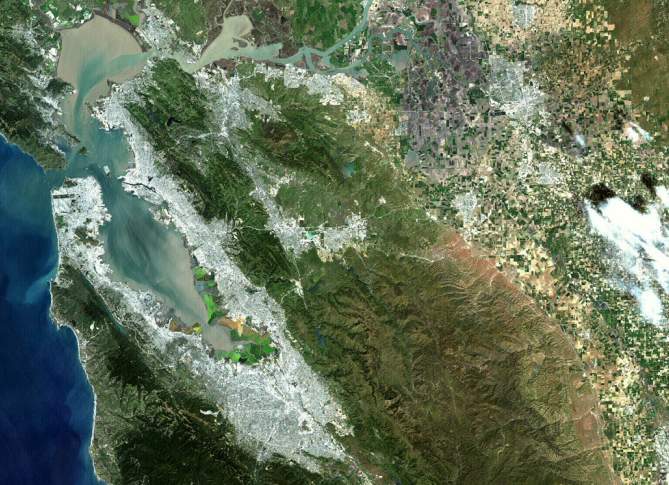
Landsat 7 Views Planet Earth
Launched last month, NASA's Landsat 7 spacecraft now orbits planet Earth. Looking down from an altitude of 700 km, Landsat 7 can map the planet's surface in visible and infrared bands and resolve features 30 meters across or smaller. For example, this striking engineering test image is a natural-looking color composite of 3 different visible wavelength bands. It nicely shows details of urban areas around San Francisco, California, USA, nestled in the surrounding terrain (north is up). Flowing blue-green colors track the spring runoff from the Sierras to the west and neighboring mountains into the bay and out into the Pacific ocean. Landsat 7 is currently performing well in its check out phase and controllers are preparing the satellite for regular operations.