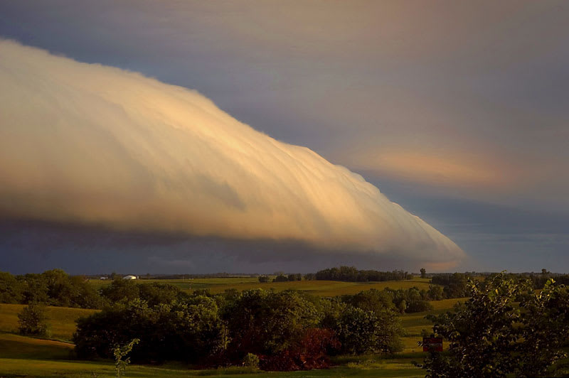
A Roll Cloud Over Missouri
What kind of cloud is this? A roll cloud. These rare long clouds may form near advancing cold fronts. In particular, a downdraft from an advancing storm front can cause moist warm air to rise, cool below its dew point, and so form a cloud. When this happens uniformly along an extended front, a roll cloud may form. Roll clouds may actually have air circulating along the long horizontal axis of the cloud. A roll cloud is not thought to be able to morph into a tornado. Unlike a similar shelf cloud, a roll cloud is completely detached from their parent cumulonimbus cloud. Pictured above, a roll cloud extends far into the distance in the summer of 2005 above Albany, Missouri, USA.