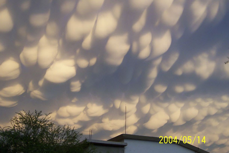
Mammatus Clouds Over Mexico
Normal cloud bottoms are flat because moist warm air that rises and cools will condense into water droplets at a very specific temperature, which usually corresponds to a very specific height. After water droplets form that air becomes an opaque cloud. Under some conditions, however, cloud pockets can develop that contain large droplets of water or ice that fall into clear air as they evaporate. Such pockets may occur in turbulent air near a thunderstorm, being seen near the top of an anvil cloud, for example. Resulting mammatus clouds can appear especially dramatic if sunlit from the side. These mammatus clouds were photographed over Monclova, Mexico. APOD presents: Astronomy Pictures of the Year for 2007